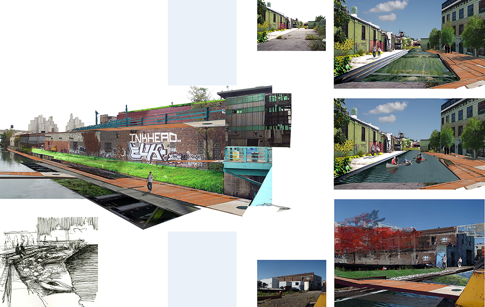
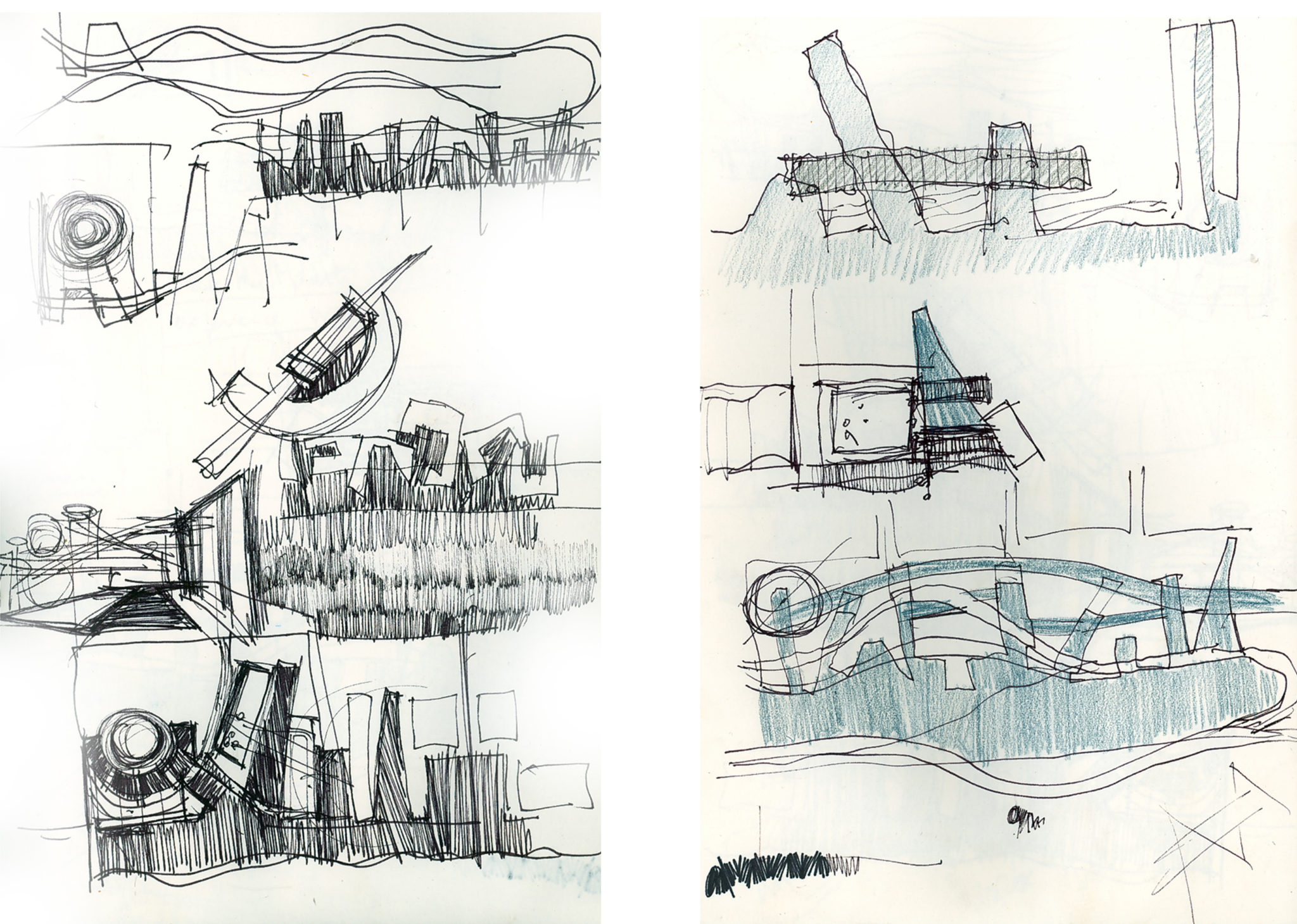
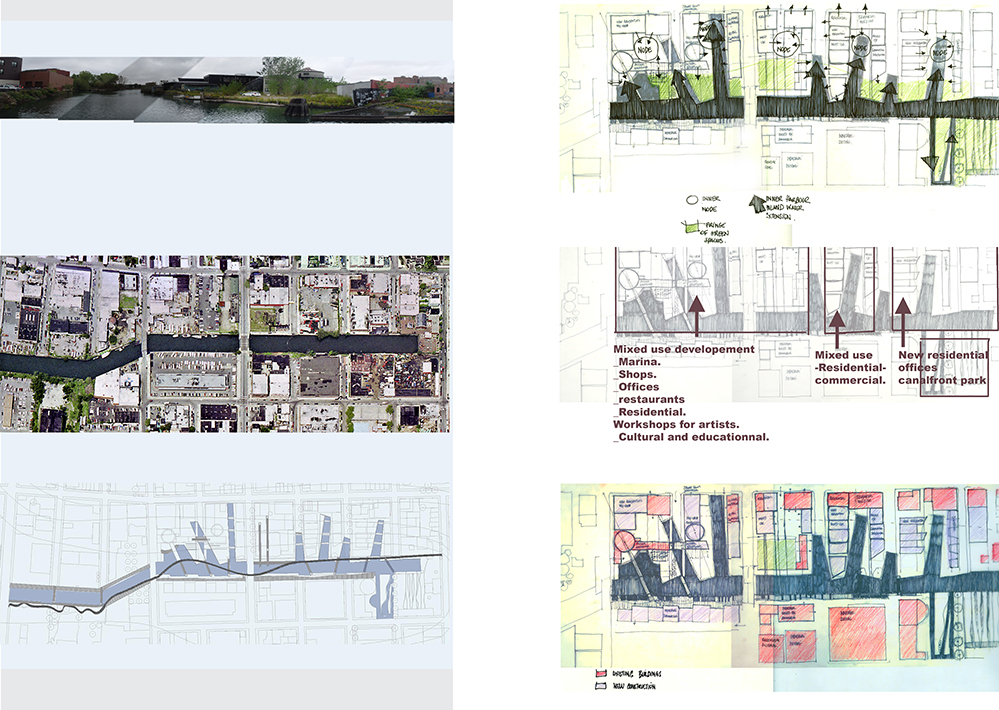
GOWANUS CANAL SKETCHES: NEIGHBORHOOD CONNECTIONS
PROJECT SERVICES:
- Conceptual & Schematic Design
YEAR: 2004
The Gowanus Canal, or Gowanus Creek Canal, is Connected to the Gowanus Bay in Upper New York Bay. The canal borders the neighborhoods of Red Hook and South Brooklyn on the west and Gowanus/Park Slope on the east. The neighborhood was originally a tidal inlet of navigable creeks in original saltwater marshland, and meadows, wetlands and fresh water streams from which the canal was first built.
It became a very active waterway that was very important to the city's commerce, and an industrial waterfront with all its environmental consequences. Today as industries left the site; the neighborhood identity is a mix of scattered residential areas, vacant land and warehouses and possesses an active community of artists and grass root activists.
Even though there are five east-west bridge crossings over the canal, located at Union Street, Carroll Street, Third Street, Ninth Street, and Hamilton Avenue, the water is inaccessible to residents.
This sketch intends to transform this inaccessible waterfront into a public amenity, taking into account environmental challenges and provide a continuous access to the canal front.
The sketches bring the canal within the urban fabric, to create connective inner harbor and multiply accesses, uses and programs. The inland harbors have several functions;
- The design proposes the conversion of existing warehouses and infill to consolidate the scattered urban fabric and create a street front dynamic
- Repair the fragmented urban fabric by generate setting for mix use housing, economic and cultural development.
- Storm water treatment, that filtrate the water before it overflows in the canal.
- The design proposes the breaking down of some hard edges of the canal and the creation of remediation sites.
TOWNHOUSE GARDEN, Brooklyn, New York
RESIDENTIAL
YMCA PLAYGROUND &COMMUNITY SPACE, Kingston, New York
PLAY & COMMUNITY SPACE
MARTHA’S FARM, Kerhonkson, New York
RESIDENTIAL
TOWNHOUSE GARDEN, Brooklyn, New York
RESIDENTIAL
MIND BUILDERS CREATIVE ART CENTER PLAYSPACE, Bronx, New York
PLAY & PERFORMANCE SPACE
DANCING ROCKS RESIDENCE, Shokan, New York
RESIDENTIAL
PINE STREET AFRICAN BURIAL GROUND, Kingston, New York
MEMORIAL GARDEN
HAVERSTRAW HERITAGE PARK , Haverstraw, New York
MEMORIAL PARK
POST OFFICE PARK -POP PARK, Kingston, New York
COMMUNITY & CIVIC PARK
YWCA ULSTER COUNTY NATURAL PLAYGROUND, Kingston, New York
COMMUNITY PLAYGROUND
WATERFRONT COMMUNITY PARK, Castleton-on Hudson, New York
COMMUNITY PARK
FOREVER WILD SHANDAKEN PARKS PROJECT GLENBROUCK PARK, Shandaken, New York
COMMUNITY PARK & PLAYGROUND
CHAMBERS STREET
RESIDENTIAL ROOFTOP TERRACE
NOSTRAND AVENUE RESIDENCE
GREEN ROOF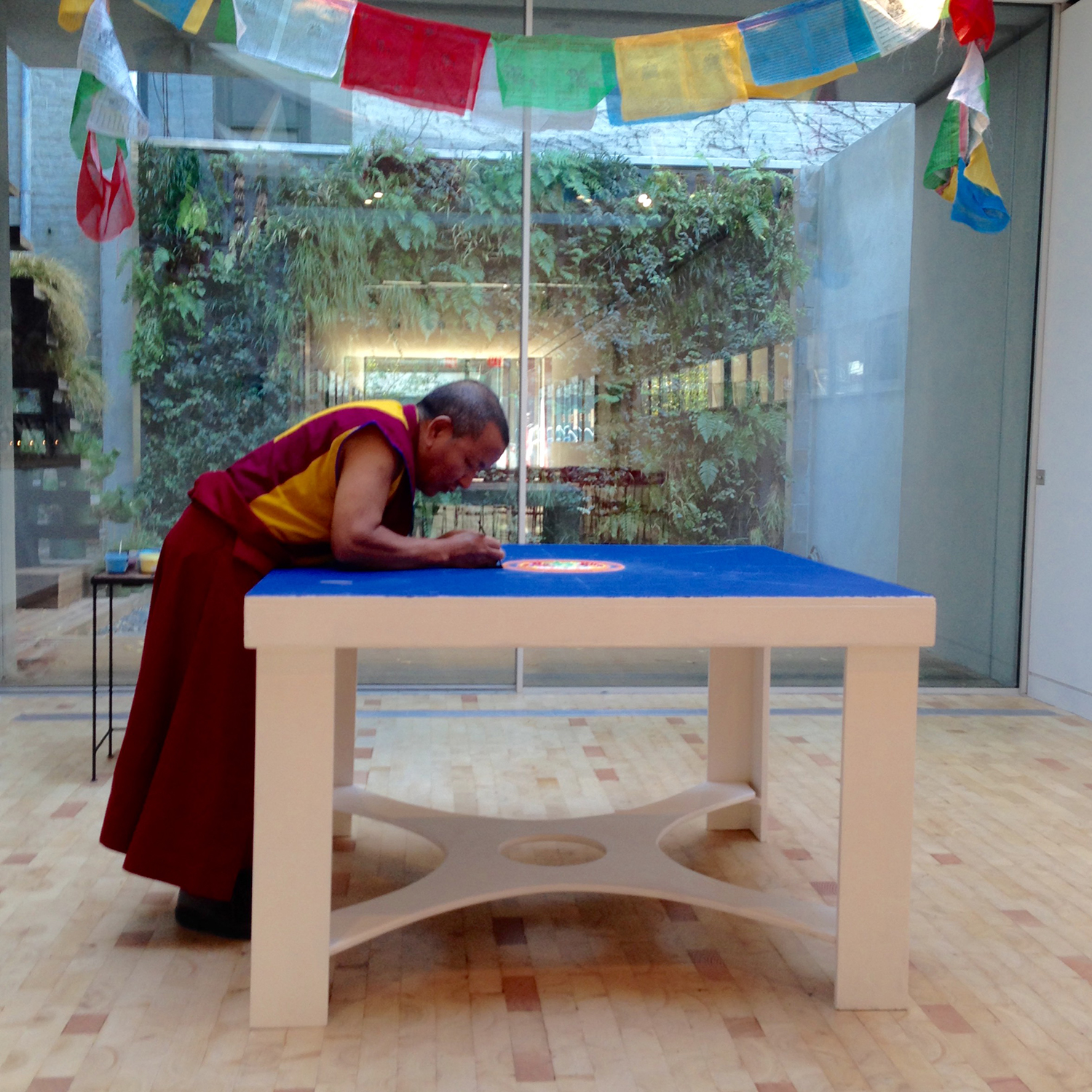
BEAR MOUNTAIN STATE PARK & BEAR MOUNTAIN INN
MASTER PLAN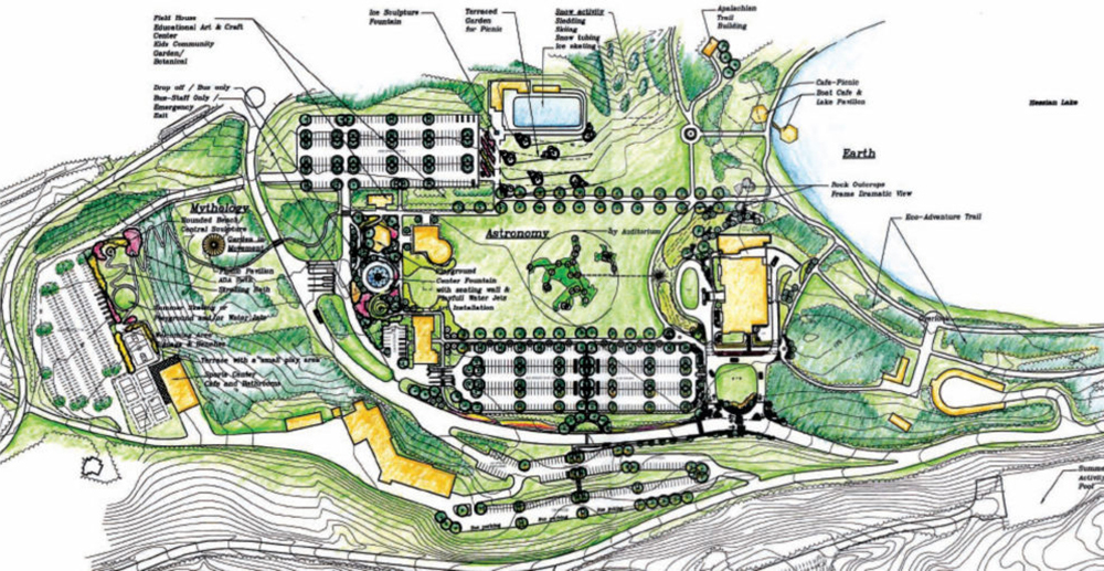
ALBANY PINE BUSH PRESERVE AND DISCOVERY CENTER
NATIVE HABITAT & EDUCATIONAL LANDSCAPE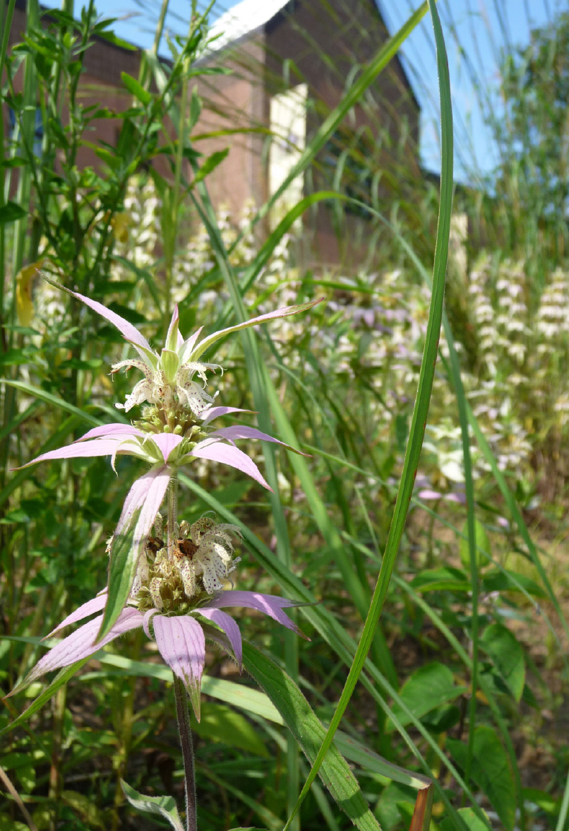
NEW YORK AIDS MEMORIAL PARK
COMPETITION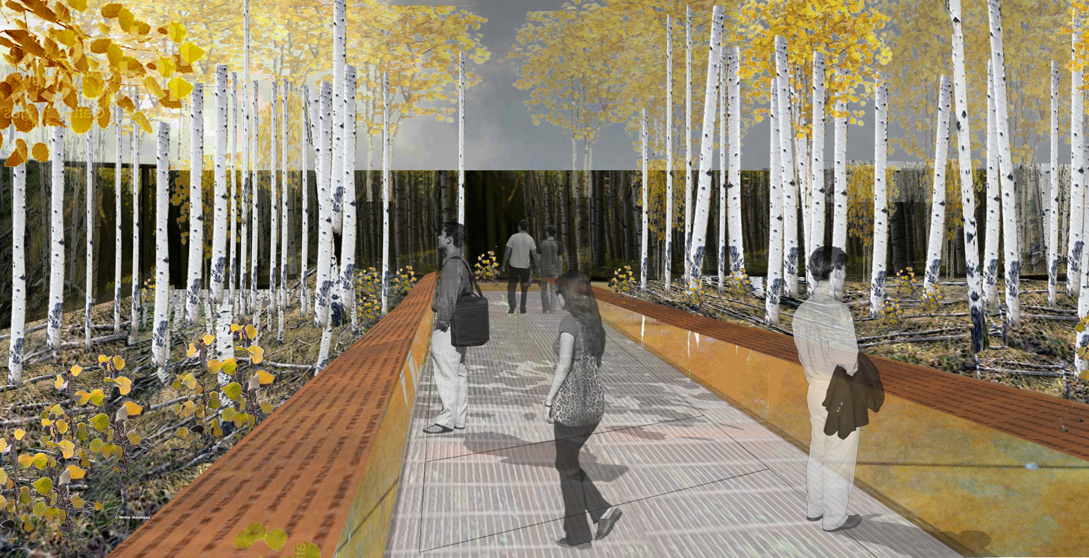
John Burroughs
Inspiration
DEGRAW STREET
BIOSWALES AND STREET GARDENS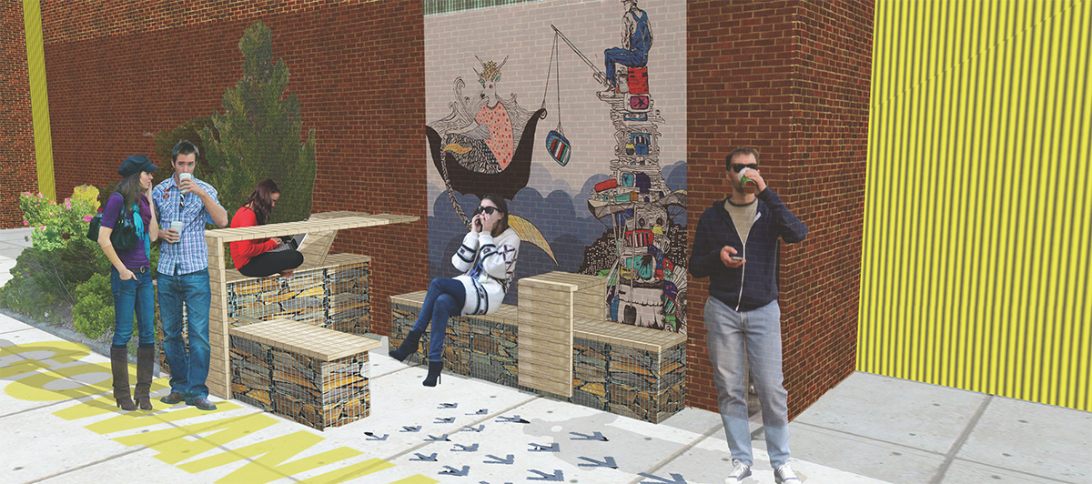
TRUE COLORS INTERGENERATIONAL RESIDENCE
SUPPORTIVE HOUSING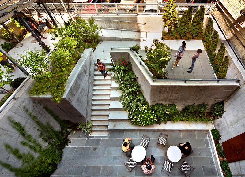
Plato
Inspiration
GOWANUS CANAL SKETCHES: NEIGHBORHOOD PARK
NEIGHBORHOOD PARK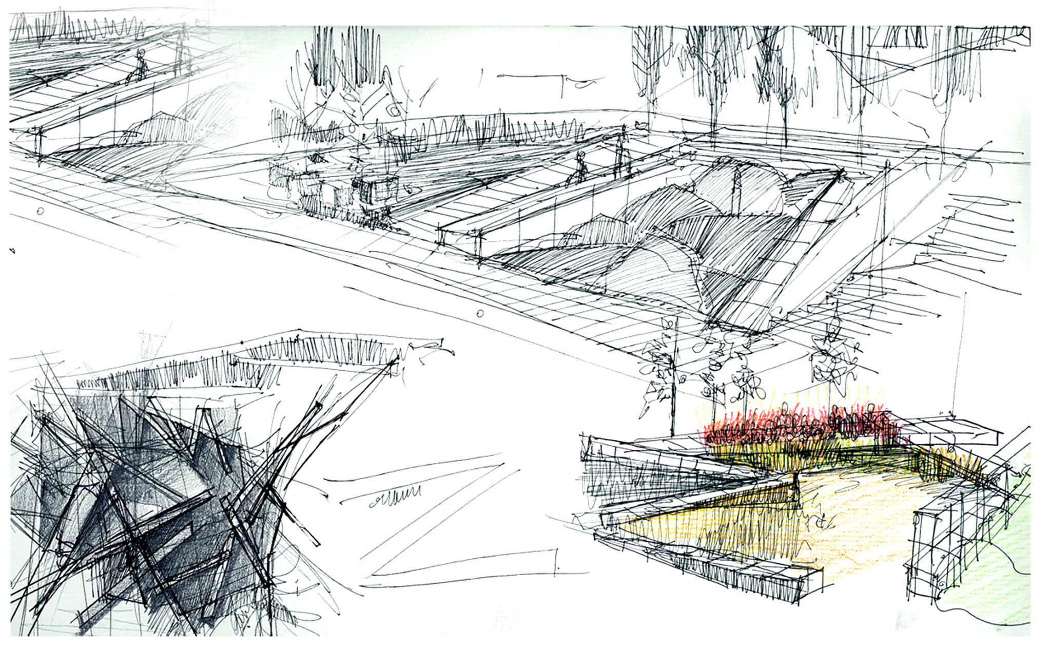
HAPPY LUCKY NI GALLERY – GREEN WALL
PATIO AND GREEN WALLCHAMBERS STREET
RESIDENTIAL ROOFTOP TERRACEPOLISH AND SLAVIC CENTER
GREEN ROOF AND COMMUNITY ROOF GARDEN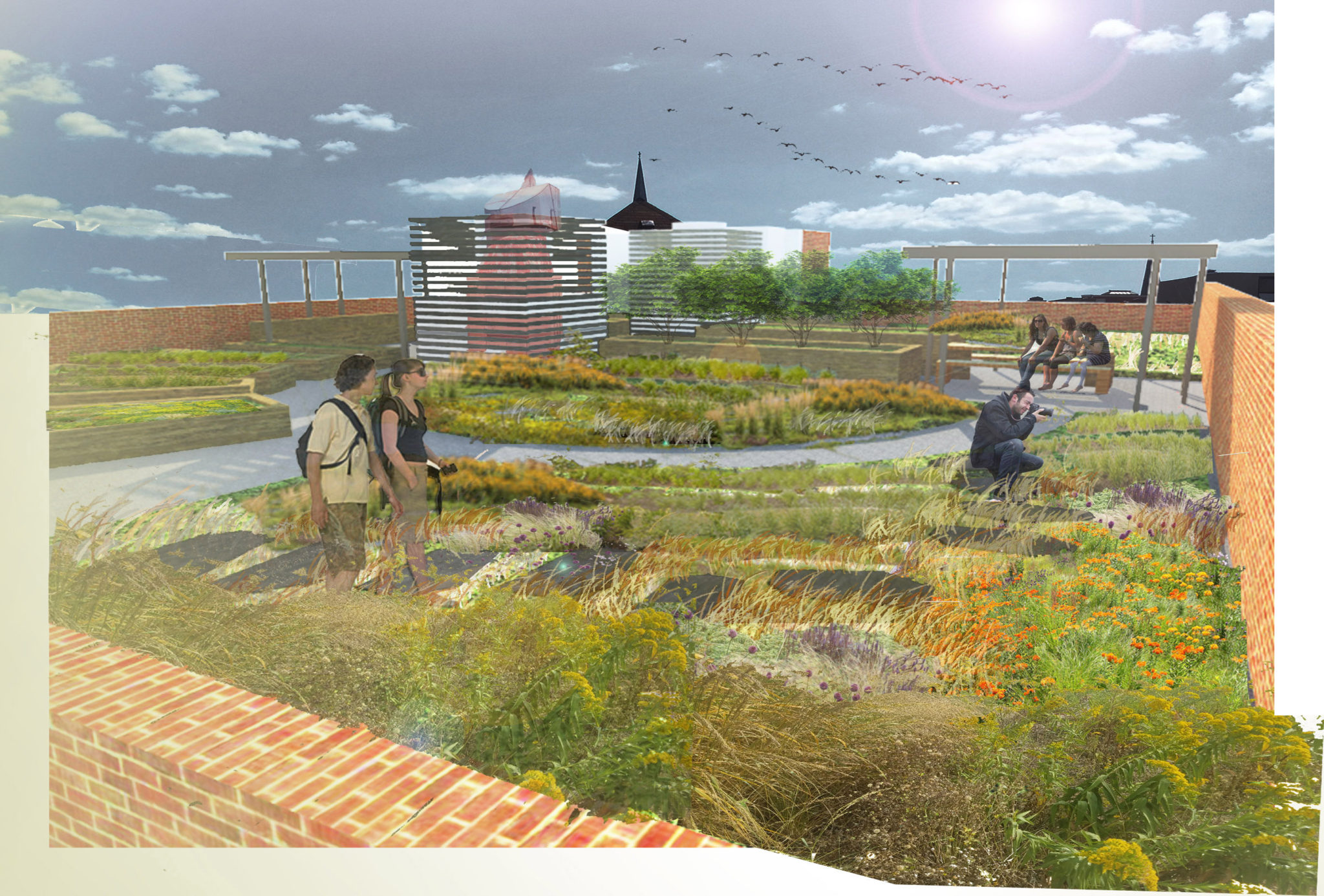
Frank Lloyd Wright
Inspiration
GOWANUS CANAL SKETCHES: NEIGHBORHOOD CONNECTIONS
NEIGHBORHOOD CONNECTIONS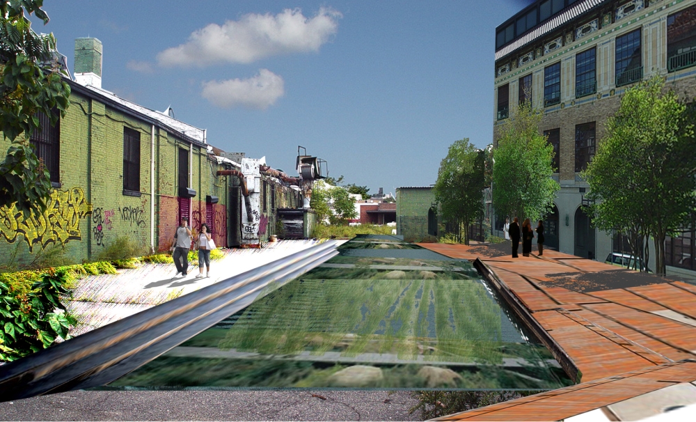
BRONX RIVER ART CENTER
GREENROOF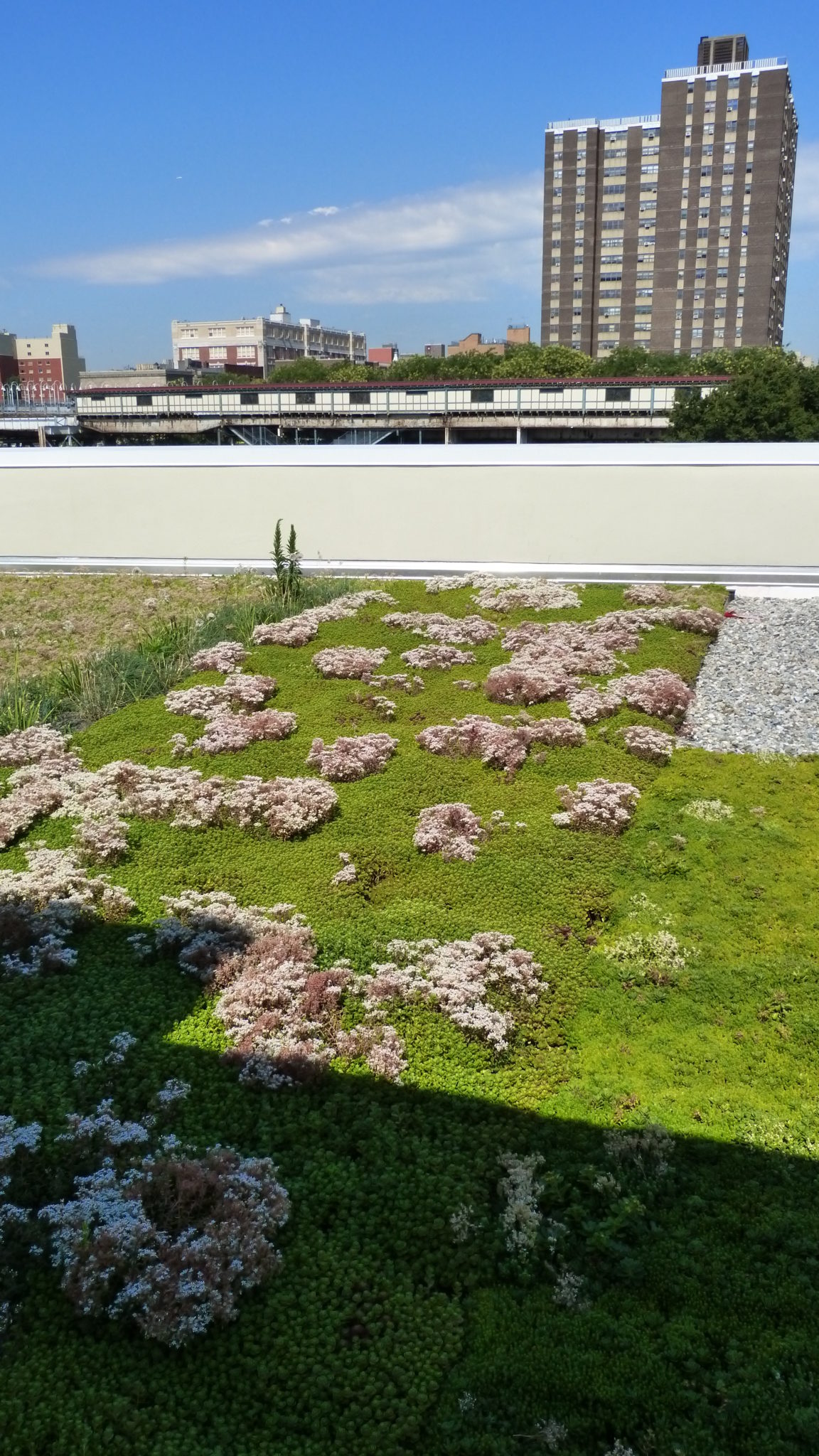
PS 234 INDEPENDENCE SCHOOL
SCHOOLYARD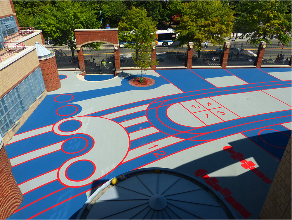
Thomas Berry
Inspiration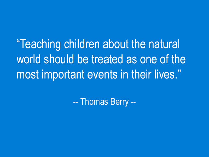
SPRUCE STREET SCHOOL
ROOFTOP PLAYGROUND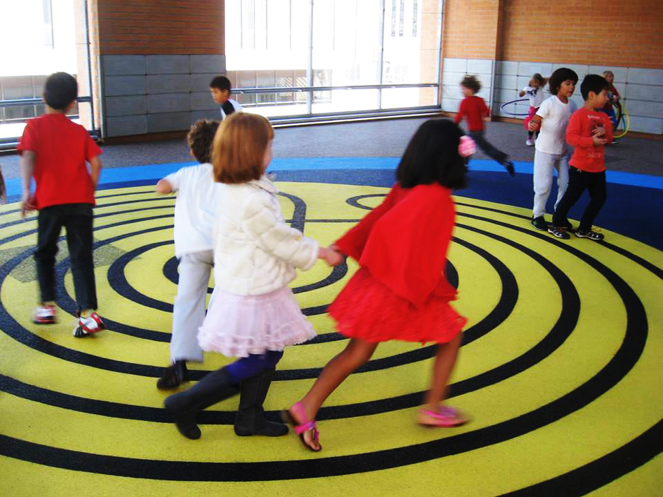
BRONX RIVER ART CENTER
RIPARIAN EDUCATIONAL GARDEN AND OUTDOOR CLASSROOM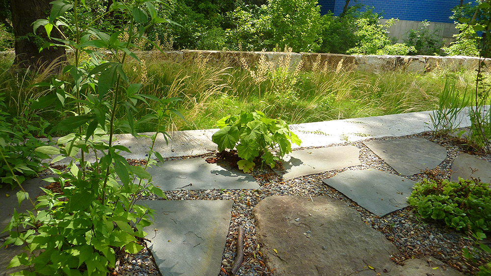
ROCKAWAY INSTITUTE FOR A SUSTAINABLE ENVIRONMENT
NATIVE COASTAL EDUCATIONAL GARDEN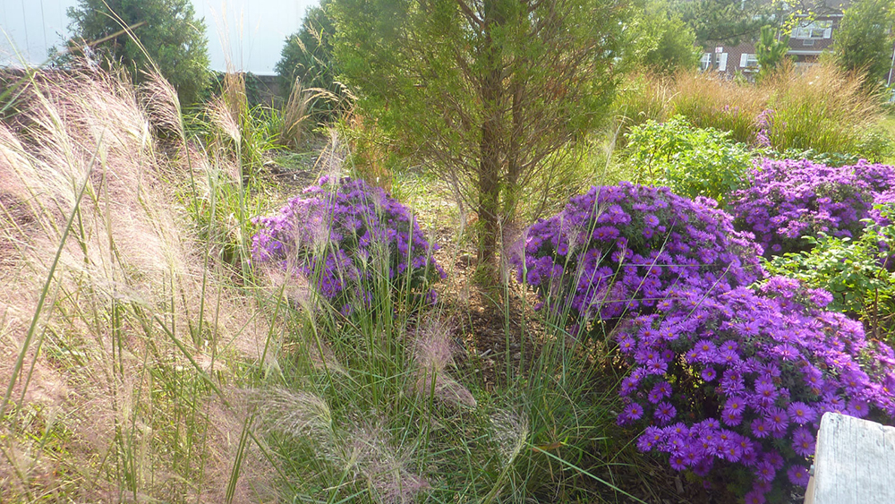


NEIGHBORHOOD CONNECTIONS